It sucks, DON’T GO!
I made my first trip up there a few weekends ago and, wow. What a country! I’ve loved going to Canada ever since I was a kid, I love experiencing it as an adult even more. Even though as a kid everything is new, I think I have a greater sense of wonderment now. I appreciate everything a lot more, because I understand the world will not always be as it is now. It also feels like a lot more work lugging myself around, up hills, and sleeping in my car.
It’s still early April and the weather is extra unpredictable. The forecast gave 30% chance of rain on Saturday and looked good Sunday. We decided before we left that this was an exploratory trip, and that if we got to climb we would be lucky. That being said my bouldering book told me that there is a wall that people rope climb even in decent rain…that sounds like me .My climbing partner and I dipped out for BC after work on Friday. It’s only 4.5 hours from my house, doesn’t seem too bad. We packed light, brought a rope, and right about 18:15 we’re on the road. The drive is pretty straight forward up through Vancouver. Pro-tip: US cell carriers don’t work in Canada, print out your maps and pay close attention, or have your GPS/NAV going before you cross the border and it will work until you arrive at the destination and/or close the app. It gets a little wiggly going out of Vancouver it was nice to have the NAV on…also some of the streets are not clearly marked if marked at all. Pro-tip #2 Have directions for getting out of there! Again, cell service doesn’t work from Squamish (outside of Wi-Fi) it’s easier getting lost on the way back I think.
We made it to Squamish right about 22:45, tired as HELL. The last 5 miles or so into town is suuper windy and dark, locals drive like it’s the Autobahn. I had read quite a bit about how people car camp in Squamish, it’s definitely done I just know you need to be careful. Recent over crowding has been causing issues with local law-enforcement and is quickly becoming a no tolerance thing unfortunately. There are quite a few forest roads I’ve read about and seen on maps, if you take the time to look and actually leave no trace I’d bet you wouldn’t have any trouble as long as it isn’t peak season.
Our first night was spent in the back of the Subi behind a slightly run down hotel, that was attached to a surprisingly lively barclubthing. We had seen another vehicle, obviously housing other persons and just made the decision to stop for the night, and were too tired to notice the bar until we actually went to fall asleep. It wasn’t the worst nights sleep I’d ever had, but definitely not the best.
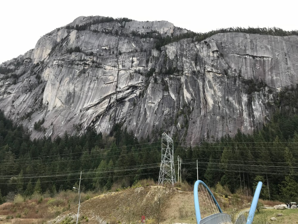
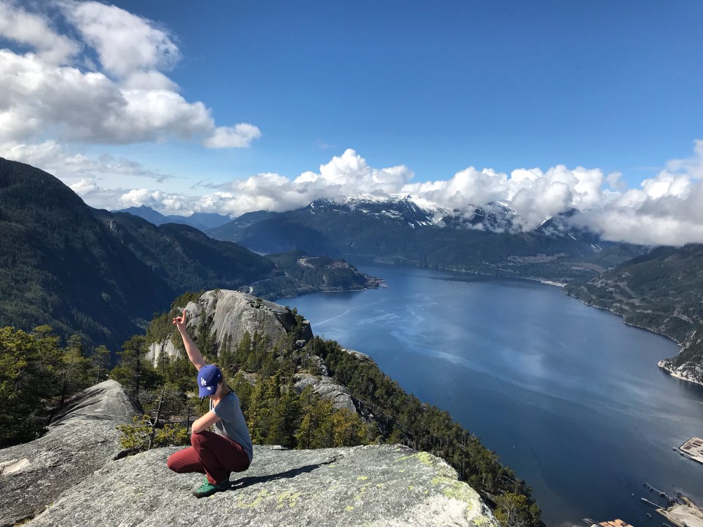
Waking up in font of The Chief was something truly special. The surprise and awe of seeing it for the first time from inside town rather than driving up to it, made the 19 hour day totally worth it. Our plan for day 1 was to go to The Chek and try some rope climbing. We got some fancy breakfast at the McD’s, I had a BLT bagel that was actually really good. Then hit the road to head North about 20 min to Chekamus Canyon.
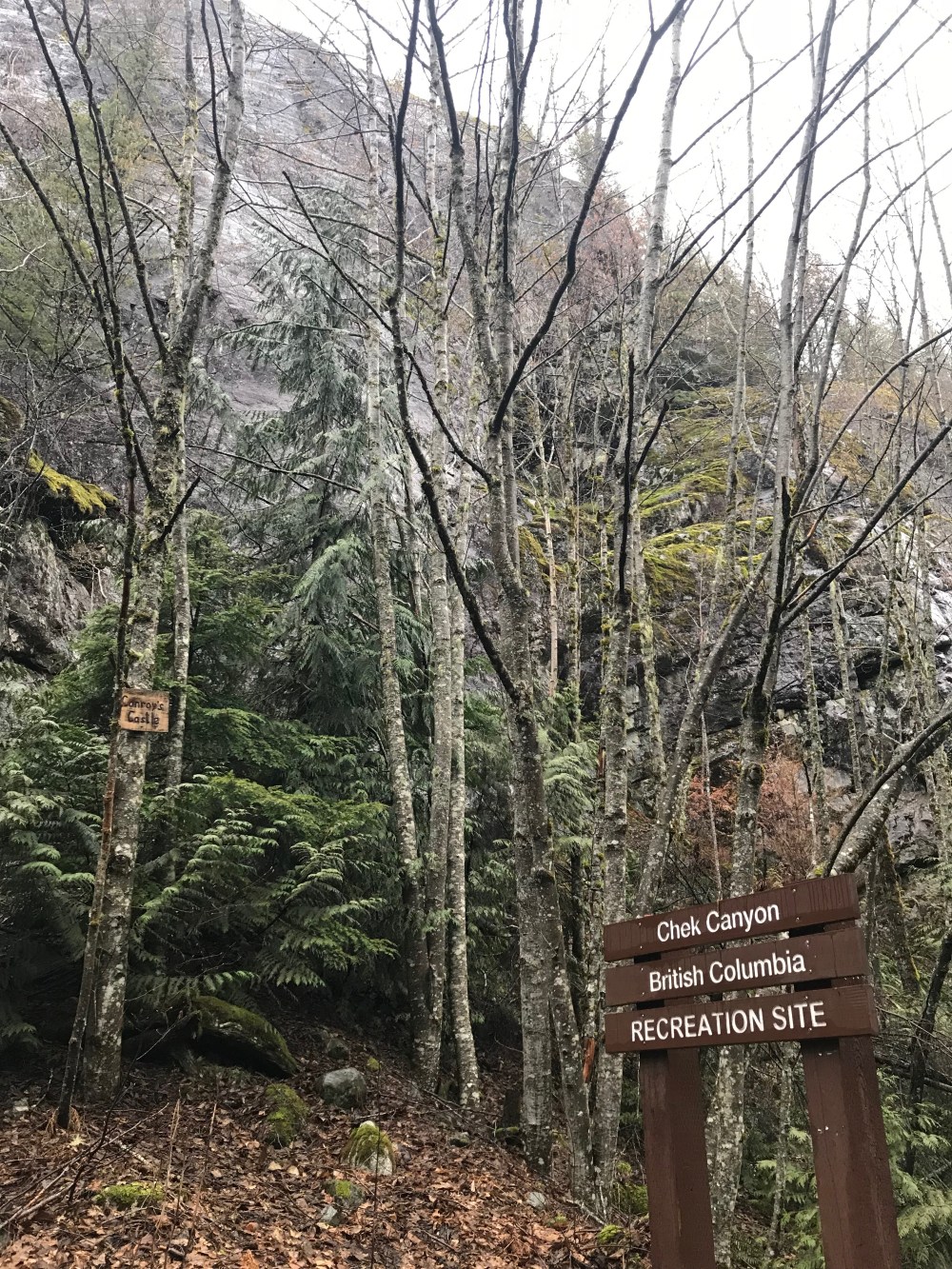
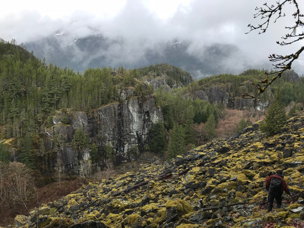
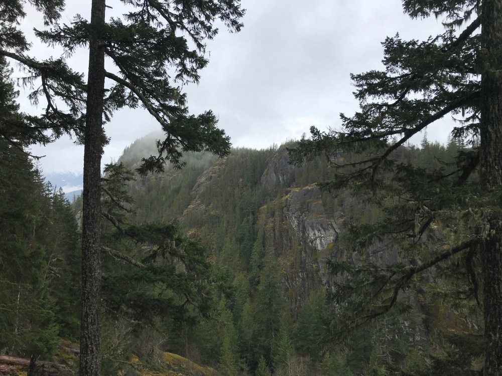
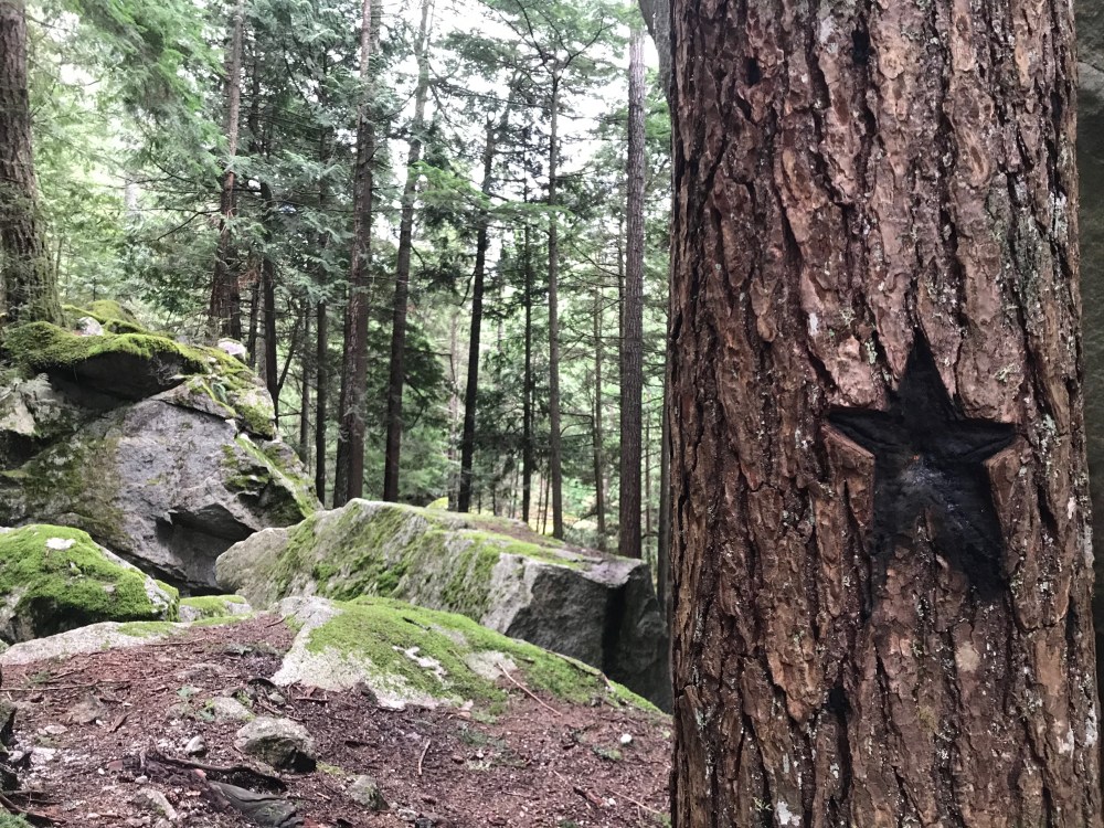
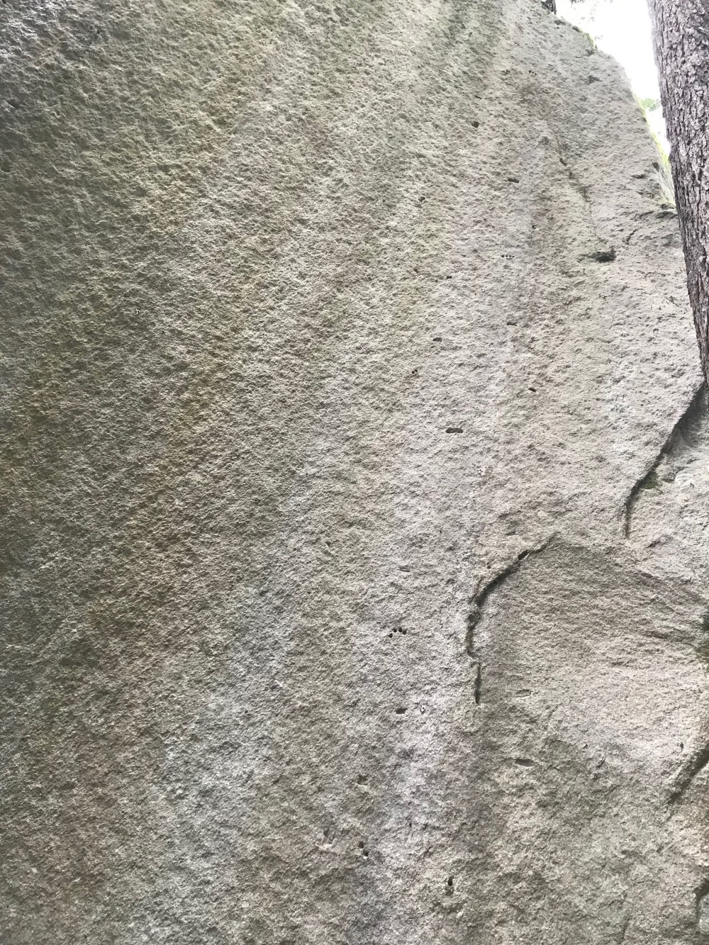
The canyon was very wet, typical for this time of year. It wasn’t cold though which was refreshing. It became apparent right away that there is a lot of rock to be climbed around here. We decided to walk up the trial and see if we could find anything worth climbing(AKA not wet). Chek Canyon is a magical place. There is SO much life here. The forest is lush, there’s water running all around, animals are out and about, the moss and lichen has all but taken over. I felt right at home here. 3-5 minutes up the way we found the first climbing walls indicated by perma-draws.
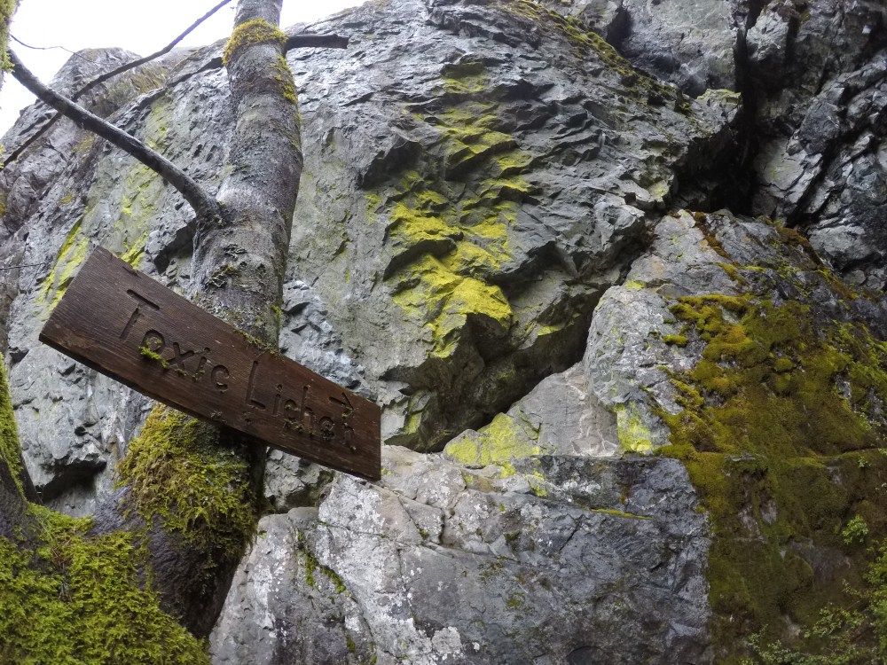
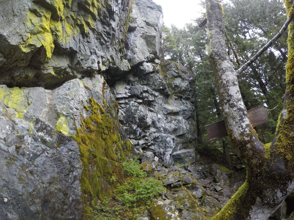
These two walls did stay relatively dry, although most of the surrounding areas including near the anchors seemed to be pretty slimey-wet. We carried on a few minutes farther and were stopped dead in our tracks. This wall called “The big Show” really is appropriately named. It’s a massive rock face that climbs up maybe 50ft then juts out left and up at maybe 35deg angle. Its staggering standing below and trying to imagine myself or anyone hanging from up there, HOW COOL. This wall was so big I really wasn’t able to get an accurate picture of it, there are actually very few good pictures and even less videos of climbers on The Big Show. I would definitely recommend seeing it for yourself.
Just behind The Big show is another large pile of mossy blocks. I thought they looked interesting so I stepped down and around a big boulder and actually did recognize this rock from MountainPoject. I got really excited and hopped and scooted by way down through the wet boulders to get a better look.
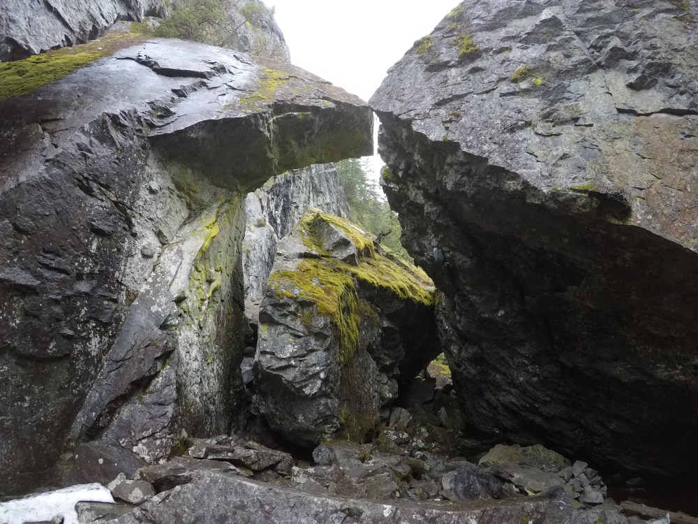
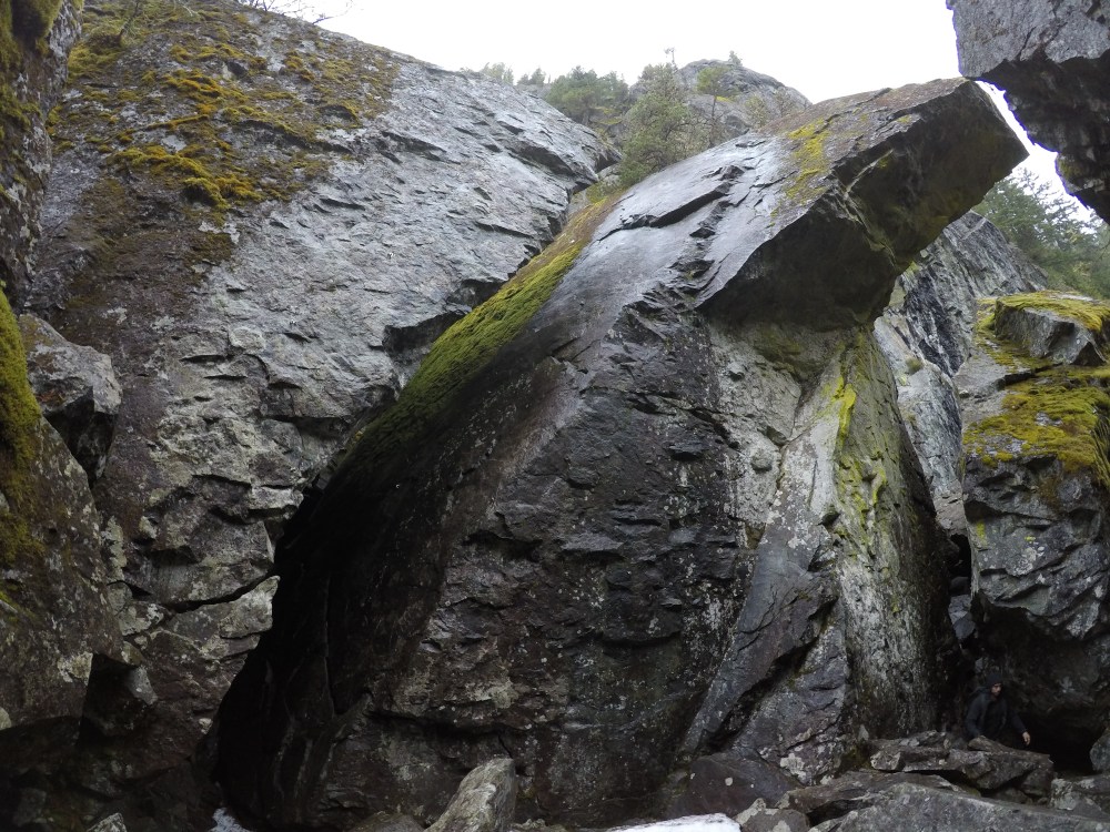
These crazy beautiful rocks have climbs all over them! Such a unique spot. The “blocky” over hanging rock on the right of the top photo has a stream running below it, very clear water that’s about ankle-deep in spots. That rock has climbs on it too! Most of these rocks were wet, walking around inside the “bowl” was very slippery. Not detoured by a little water we decided to give one of these routes over the stream a try.
Using some slightly unconventional PNW techniques we got the rock dried enough to what seemed like climbable…

So, we very quickly realized that the stoke probably took over our better judgement and this route was harder than it looked, way harder. We could barely get off the ground. We decided to move just outside these blocks to the wall next to The Big Show called The Circus. I unfortunately did not get any good pictures of this spot, its searchable. This wall is covered in perma-draws and is overhung enough to have 2-3 dry routes. We found a route that looked do-able, more do-able than the last one anyway and hopped on it. I’m going to write a separate post about this route. There were a lot of things that happened during that climb I would like to walk myself back through it step by step. Long story short, my partner and I tag teamed the route. He started up first getting the first 3 or so clips in place. Hitting a crux that was pretty scrunchy and balancy he decided to take a break and give me a run at it. We flip flopped climbing the three crux’ putting me at the final push to the chains. Well I reached the chains, and then ended up taking the biggest whipper of my career. (Later we found out this route was Neutered Bovine 5.11c)
The fall was big enough that we were both okay with being done rope climbing for the day. I was 100% pumped at that point, I couldn’t even undo my figure 8. In fact I was pumped for 6 hours after that climb, No exaduration.
Into the forest
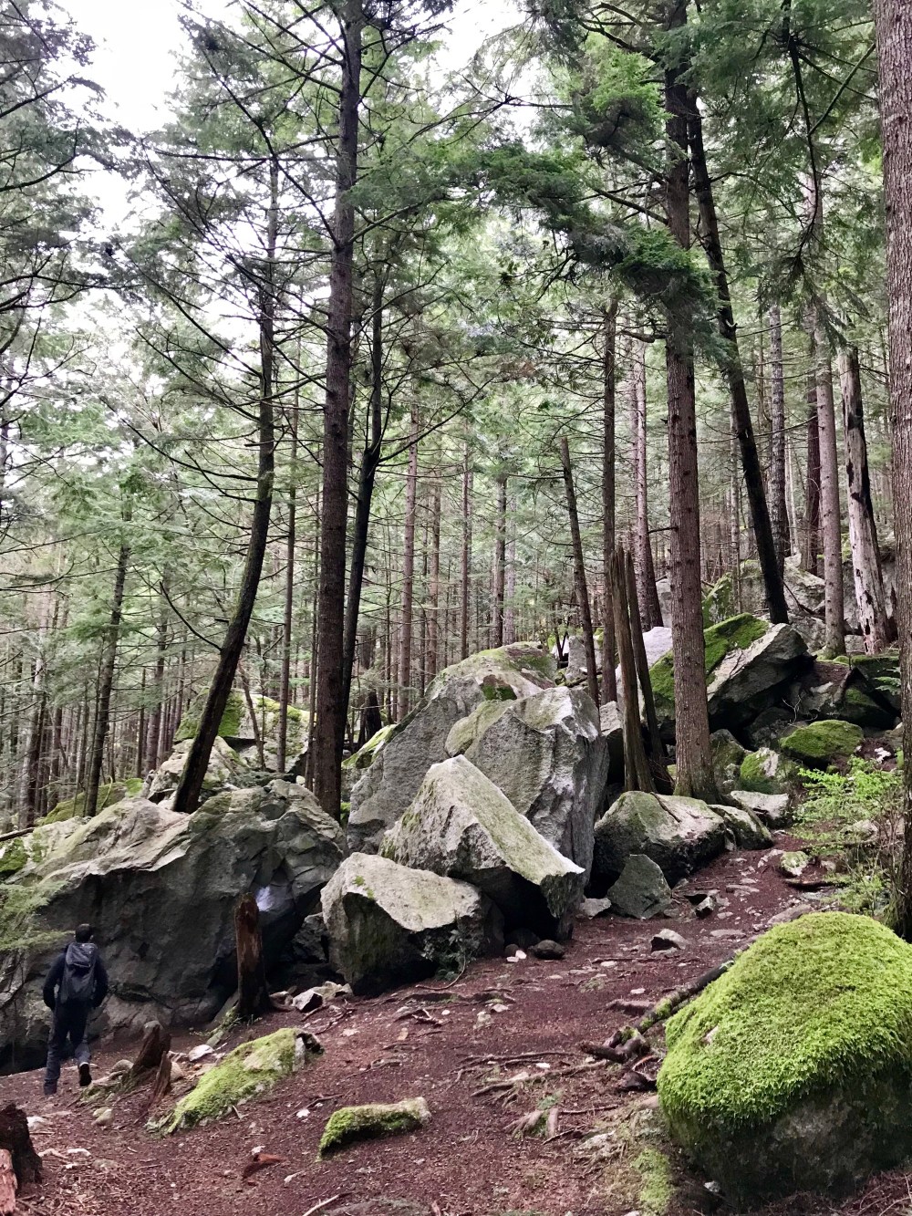
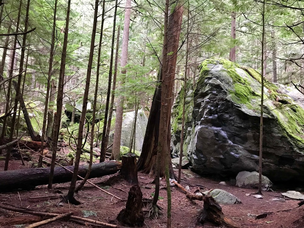
Adventure bouldering? In the forest? What a concept! It never really occurred to me that somewhere other than the desert would have enough rocks to adventure boulder. I don’t think that this is technically adventure bouldering however, there are SO many blocks majority of the routes are in the V2-5 rage it really seems like setting out to find a specific problem would be very daunting. I would have the most fun walking around and eyeballing routes that looked fun/possible and just giving them a go. There are over 3K boulder problems in Squamish, just because I’m too lazy to find a specific boulder doesn’t mean it isn’t possible. We found ourselves wandering around The Chief Provincial Park.


We stumbled upon some pretty neat little special touches out here too..
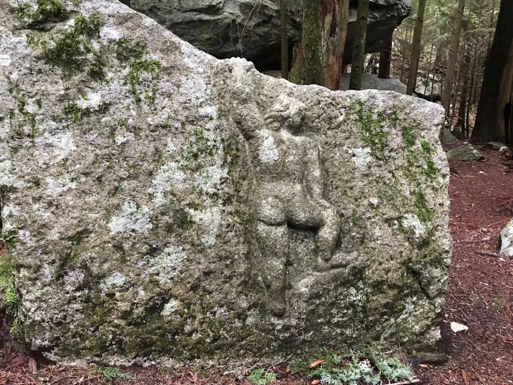
This thing stopped me dead in my tracks, I thought I was tripping. Walking around the woods there are little things like this all over. This one was definitely my favorite. I have never seen a stone sculpture like this, and was extra thankful to have stumbled upon it.
Outdoor etiquette has definitely changed over the years and this is absolutely frowned upon. After reading about the history of the bouldering scene in Squamish this stuff makes sense for the time it was created. I personally feel that if there is minimal impact and you’re leaving behind something worthy of being called art, there is potential to leave a trace and it not being the worst thing ever. I also would never do it myself.
If you look closely at this rock there are holes that span the entire face. Upon farther investigation we realized that this is a man-made route! There are finger pockets drilled into the slab the whole way up. From single finger pockets, to 4 finger buckets, there are even a few 4 finger pockets bear paw style, one pocket for each finger. It looks SO COOL. Again, I understand the wrong doing here and do no condone this. What’s done is done though, and this looks dope. Next time we come out to Squamish we’re going to get on this thing. It conveniently happens to be located behind one of the most inspiring routes I’ve seen to date..
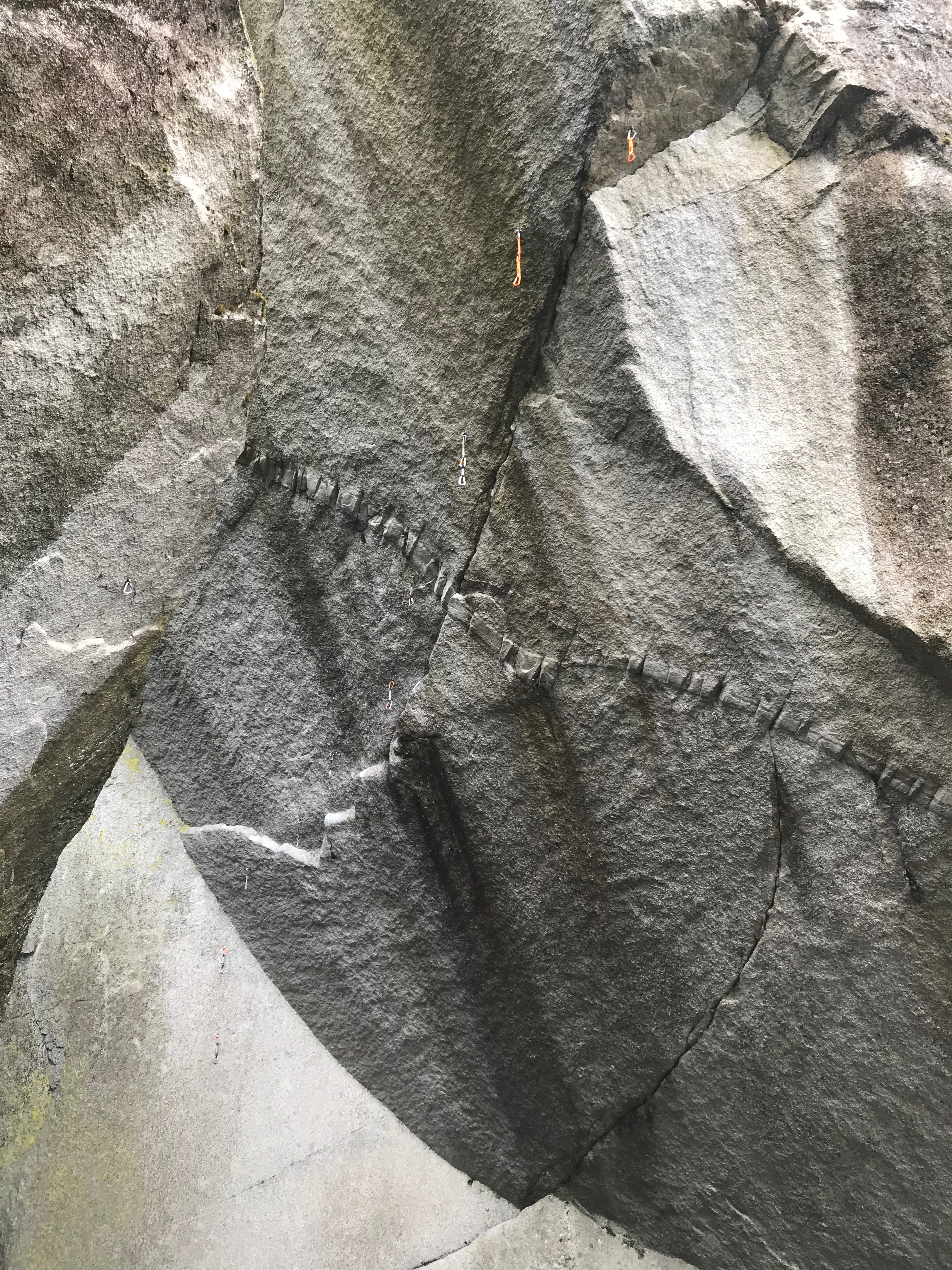
This is Dreamcatcher. If you haven’t watched someone climb it, get on YouTube and see it for yourself. If I had seen the route first I don’t think I would have believed it was possible. I love the surreal feeling you get when you’ve seen or read about something so many times and then you finally get to see it in person.
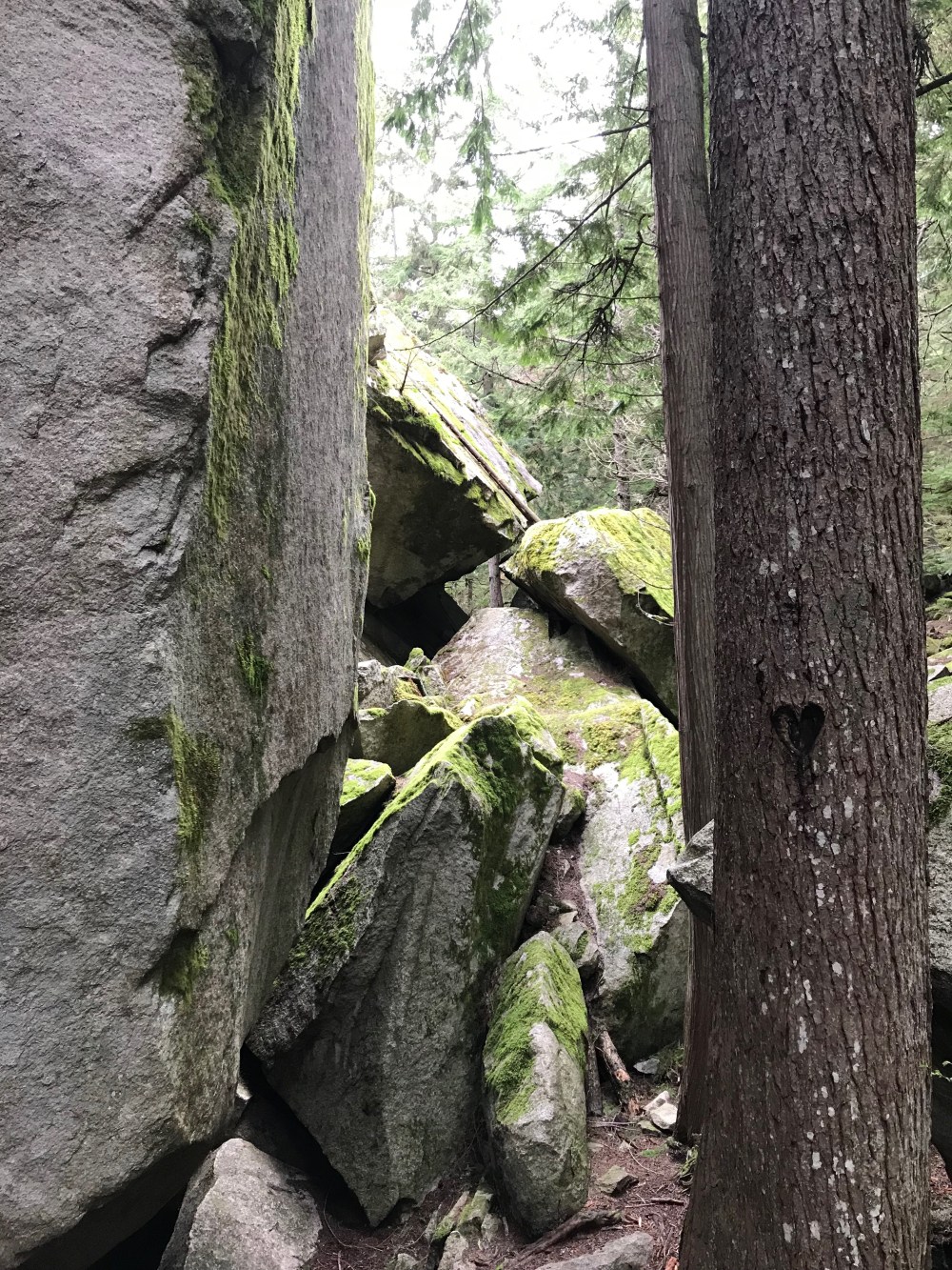
It was a miracle we found this route at all, honestly. My partner quite literally sniffed it out. We had been walking around the base of The Chief for a while, wandering laterally from boulder to boulder when he decides it’s just time to start moving up. He hopped up and over one rock, out and around another, then says we should drop packs and squeeze through this hole. Bada-bing! He found it. The whole area is the most epic chill spot, lots of shade, lots of room. There’s even an upper and lower rock platform that overlooks the route, it’s quite special.
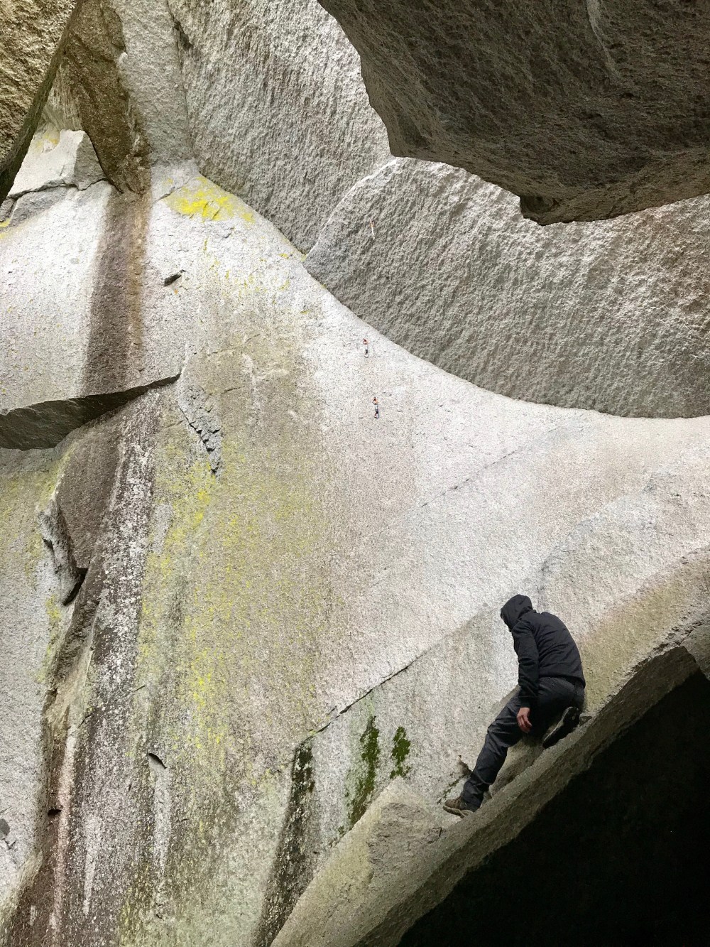 The slab at the base of this route is absolutely insane. I tried imagining myself standing at the top slab, and busting up to the “lip” and just couldn’t. Dreamcatcher is truly remarkable, I’m very thankful we found it.
On Sunday we decided to visit The Chief. We wanted to stand at the base of it, and possibly find the Cobra Crack. Those being our only objectives we set off from “The Chief Provinical Park parking lot for what seemed to be the direction we were supposed to go, up. We started our stair climb from the campground heading towards First and Second peak. I wish again that I had taken more photos, but you REALLY should go see for yourself. There is a master staircase going up the back side of The Chief. As mad as I was to be walking up those steps(because I’m a whiner) I was also in awe of the workmanship that went into the making of this trail. It was a little less hard to be upset when thinking about someone else lugging all of these beams up here to make these stairs. I lost count of the steps somewhere around 742, those were vertical steps not total steps taken. Half way up or so I managed to grab my second wind and it wasn’t miserable anymore. Rounding the top though we decided to bypass First Peak in hopes that Cobra Crack is in between it and Second Peak…it’s not. The trail narrows and ends in a fairly narrow corridor, rock face on either side. One side had a cast-iron rod ladder that was attached to the rock, somehow. The other side had a small “scramble” if you will up some granite flakes to a larger ledge. Neither path looked particularly inviting, upon investigation of the ladder we decided we didn’t like how scary it felt with wet hands and feet and opted for the other side.
This was a good choice. We found a chain attached to the rock which allowed us to safely traverse along the granite flakes, onto slab and move around to follow the path continuing up. Again, I didn’t end up taking photos. The trail was exciting and slightly wet and therefore dangerous. It was so much fun being surprised by all the sections of this path. After following several lengths of chain that wound us around a large granite mound there was a pipe ladder that led to another granite mound that had the steepest chained section yet. This was obviously the last section before reaching the top of Second Peak. How COOL! I loved this trail so much. There are photos of it online if you don’t believe me. I know I’ll go back to do it again…even though the stairs suuuucked.
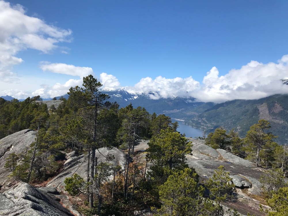
The views from the top of The Chief did not disappoint in the slightest.
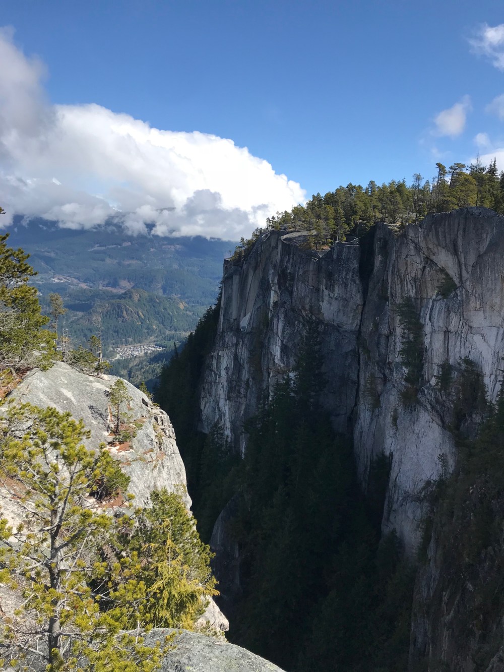
From Second Peaks main vantage point you can scramble around to the right towards Third peak, there’s quite a bit of room up there to explore or each lunch. We took the back side trail as our route down, the route split a little ways down going either to Third Peak or following back to the main trail via the “Third Peak Trail” that was noted to be more primitive than the route we took up.
This trail was indeed more primitive and also very exciting, I am very thankful we did not come up this way. It was quite the mess of broken branches and fallen logs. Tons of big and little boulders being used as stepping-stones, it was a really dynamic trail I enjoyed it a lot.
Last stop was Shannon Falls. This thing is pretty hard to miss, HUGE waterfall that’s very easily accessed.
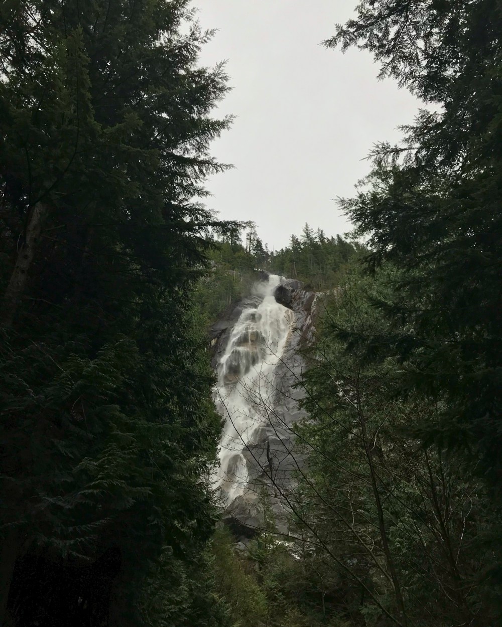
As impressive as it is to see up close avoiding all the tourist is a bit of a pain. There’s also a huge gondola ride you can take from the base of Shannon Falls to way up in the hills above The Chief which attracts even more tourist. I was here before peak season too, I can only imagine what its like here in Jun-Sept. I’m sure it’s pure craziness.
If you’ve read all this I hope you take away that; Squamish sucks, DONT GO!
